
Inside the Company Ordering Satellites to Photograph Africa
A $10 million opportunity, wildfire monitoring on Kilimanjaro, and banks tracking farms from space before lending.
PARTNER MESSAGE
On April 18, FursaHub joins COSOTA, the Ministry of Information, Culture, Arts and Sports; NEDC; and financial institutions to co-host the National Royalty Distribution and Content Creator Loans Ceremony at JNICC.
Tanzanian artists will receive their copyright earnings, and content creators will access new loans. Guest of honor: H.E. President Dr. Samia Suluhu Hassan.
Register at luma.com/8aq3f24u.
Atoms & Bits spoke exclusively with Musa Mishamo, Founder CEO of Dar-based Rada 360, about his space tech startup’s new satellite imagery marketplace, why Africa remains underserved by global satellite operators, and where a projected Sh26 billion Tanzanian market sits today. Our conversation took place virtually on March 21.
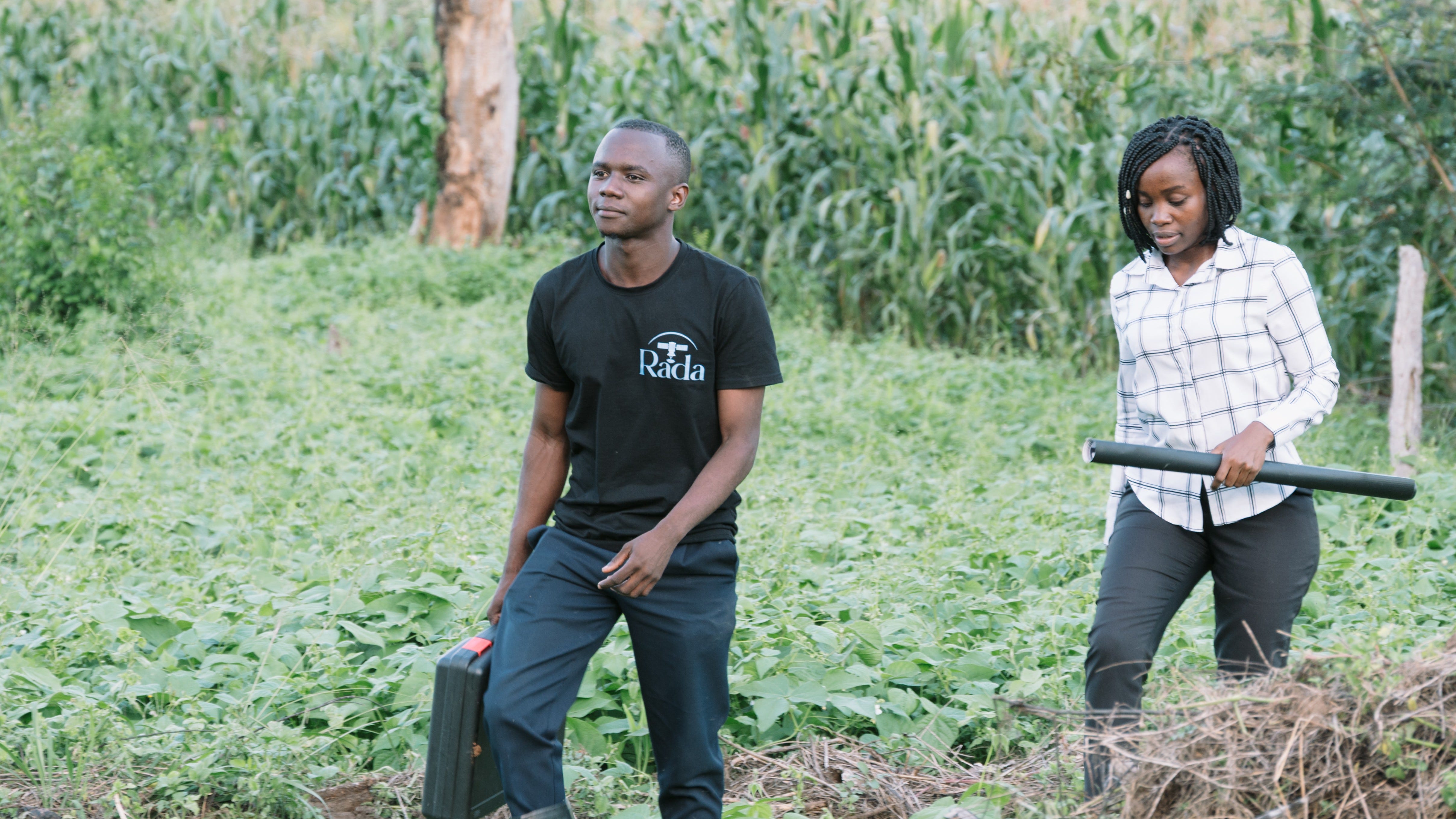
Rada builds tools that turn satellite images into usable information for farmers, mining companies, constructors, banks, government agencies, and researchers.
The company started in precision agriculture and has since moved into mining surveys, flood monitoring, urban planning, and environmental analysis.
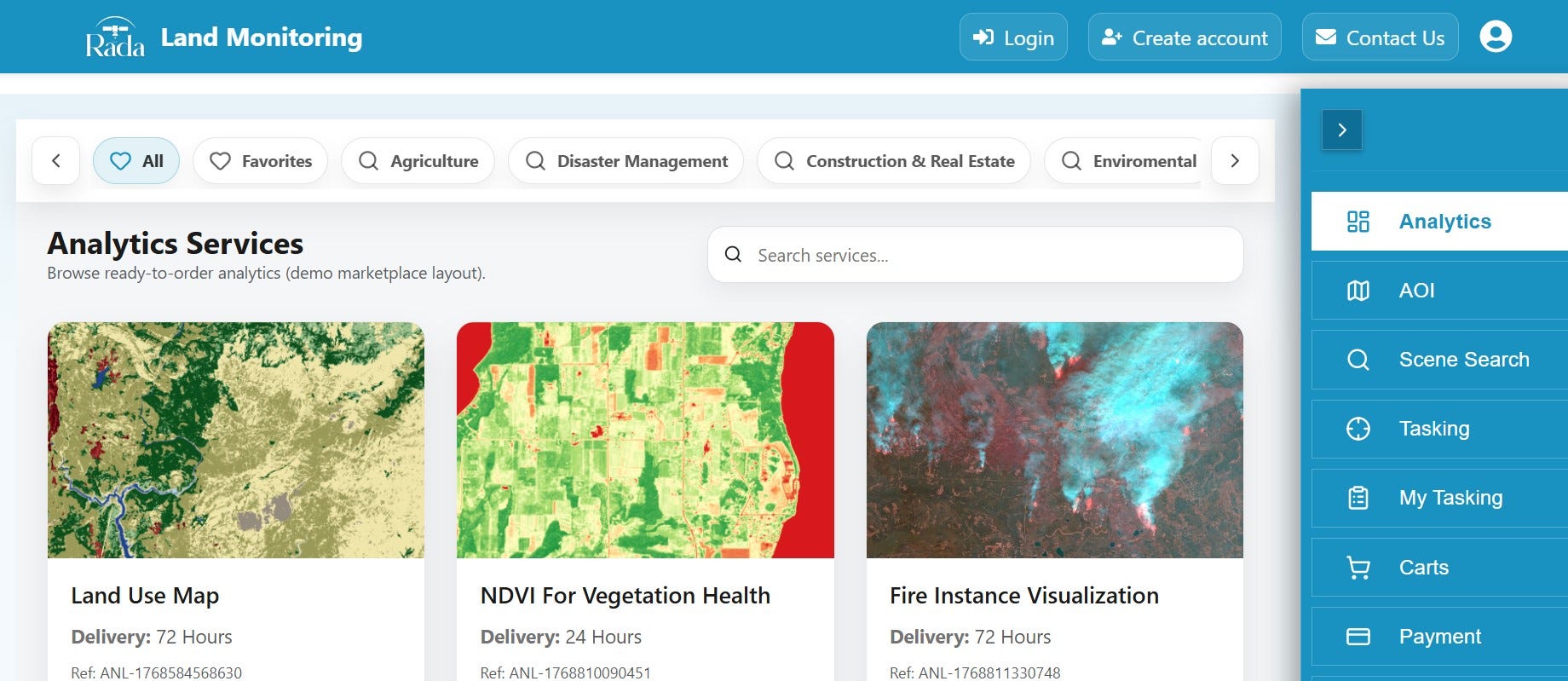
Last month, it launched Rada Monitor, a platform for ordering and analyzing satellite imagery that Mishamo says is the “first” of its kind operated from Africa. Both questions and answers have been edited for brevity and clarity.
Rada Monitor just launched. What problem does it solve?
After we put our agriculture product on the market last year, we started hearing from people in completely different industries. Mining companies wanted terrain models. Surveyors needed updated imagery for land projects. Environmental groups wanted to track deforestation. And so forth.
They all had the same frustration. There was no straightforward way to buy satellite imagery in Africa. The existing marketplaces were all run from the US or Europe.
With Rada Monitor, anyone on the continent can now go to our platform, define the area they want to see, and order either the raw image or a full analysis.
How does it actually work when someone places an order?
There are two paths. The first is what we call archive.
Satellites photograph the earth constantly and store those images. If we already have a recent image of the area you need, we pull it and deliver it.
The second path is tasking. That means no suitable image exists in storage, so we ask one of our satellite partners to redirect a satellite to pass over your location and capture a new one.
For example, a customer in Zanzibar recently needed detailed imagery of an airport site because the government was planning construction and needed to assess land compensation. We found a high-resolution image from December in our archive and that was enough. If we had not found it, we would have tasked a satellite to make a fresh pass.
You work with more than ten satellite providers. Why so many?
Most satellite companies do not treat Africa as a commercial priority. There are fewer paying customers here than in Europe or North America, so the continent gets less attention and less frequent coverage.
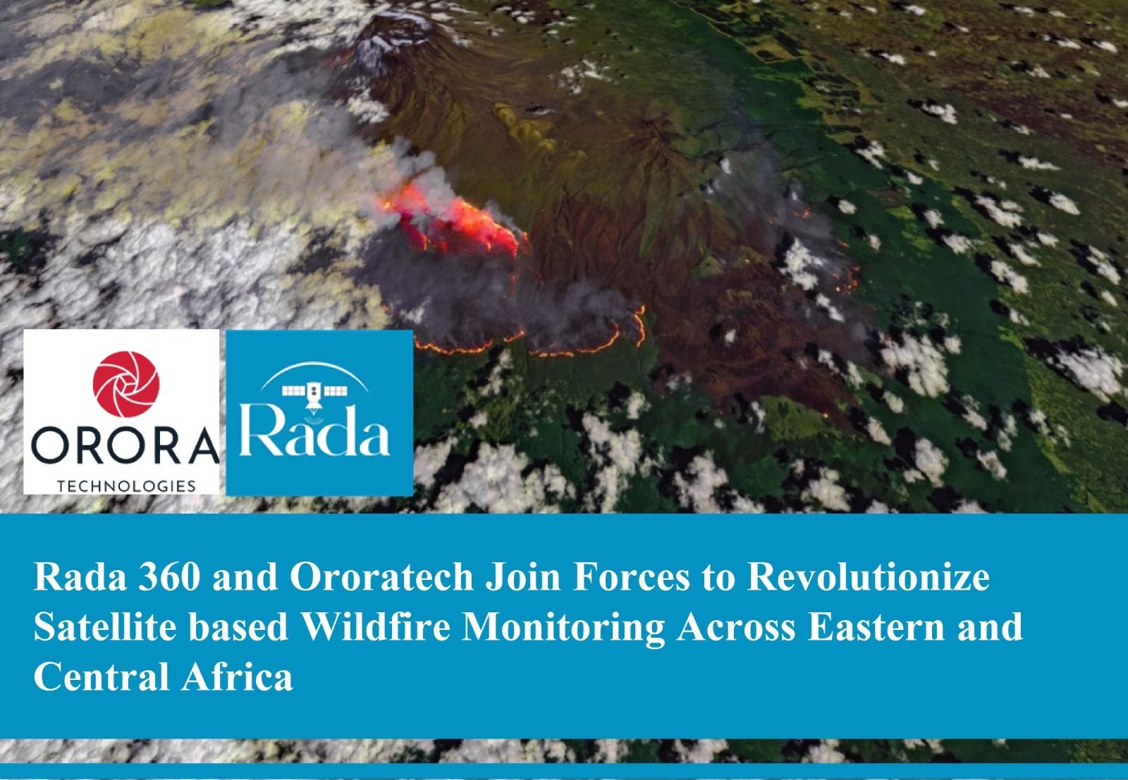
If one provider cannot get us what a customer needs, we go to the next. We work with Planet Labs in the US, StarVision in China, a German firm that specializes in detecting wildfires from space, and several others. The variety keeps our options open and our pricing competitive.
A lot of people would hear this and wonder why they cannot just use Google Earth.
That’s a fair question. Google Earth uses imagery from the European Space Agency’s (ESA) Sentinel satellites, which capture at ten-meter resolution. Ten meters means one pixel on your screen covers a ten-by-ten-meter square on the ground.
For basic viewing that works fine, but if you need to distinguish tobacco from maize on a farm, or assess individual buildings on a construction site, you need images where a single pixel covers one meter or less. That level of detail only comes from commercial satellites, which is what we source.
The other limitation is that Google Earth Engine requires programming skills. A surveyor or agricultural officer who has never written code cannot use it. Our platform is designed so that anyone can place an order and receive a usable result without technical training.
Can you walk us through a real example where this approach made a measurable difference?
A PhD researcher at the Nelson Mandela African Institution of Science and Technology (NM-AIST) needed to study tobacco farms in Tabora.
She was building a model that would allow banks to assess whether individual farmers were good candidates for loans or insurance, based on how much land they farm, where it is, and how well the crop is growing.
Without us, she would have driven from Arusha to Tabora, hired drone operators, and mapped seven villages on the ground over roughly six months. We analyzed satellite imagery of all seven villages in two days and delivered maps showing exactly where tobacco was planted and where it was not.
What about outside of research?
In mining, companies routinely need three-dimensional terrain models of their sites for survey and planning purposes.
A traditional ground survey for that kind of work runs around $8,000. We produced the same output from satellite data for $1,800. We are also running a wildfire monitoring pilot on Mount Kilimanjaro using a satellite provider that detects heat signatures from orbit.
And we have flood monitoring projects in Mwanza and Rufiji where we track water levels and affected areas after heavy rains.
You mentioned land management. What does that look like?
This is one of the areas with the most potential in Tanzania. We are in conversation with the Dar es Salaam City Council about using satellite imagery to detect unauthorized construction.
How? You compare images of the same area taken months apart and the system flags where new buildings have appeared in zones that are not approved for development.
In rural areas, there is the long-running conflict between farmers and pastoralists over land boundaries. Satellite imagery can produce clear demarcation that both sides and the authorities can refer to.
We are also looking at combining satellite data with sensors on the ground in conservation areas so that when someone or an animal crosses into a restricted zone, the relevant authorities receive an alert automatically.
Agriculture is still your main business?
Yes. Rada Agriculture is now on its third version. The first gave farmers visibility into how their crops were performing, where water stress was highest, and where soil nutrition was low.
It also generated maps that recommend exactly how much fertilizer to apply in different parts of a single farm rather than spreading the same amount everywhere.
Version two added the ability to predict yields before harvest and to distinguish between different crops planted in the same field, which matters because many Tanzanian farmers grow maize and beans together.
Version three, released this year, added flood and drought prediction. That feature came directly from banks and insurance companies who want to understand climate risk across their lending portfolios before a growing season starts.
So, who pays for it?
Farmers use it directly for planning. But the bigger commercial clients are financial institutions. Every five days, when a new satellite image arrives, they can see how a farm they have lent against or insured is actually performing.
That is near-real-time verification of an asset that used to be invisible to them between site visits.
Interesting. How big is this market?
We estimate the Tanzanian market alone at around $10 million. Large mining companies already spend on satellite data, but most surveyors, urban planners, government agencies, and agricultural businesses are not buying yet.
The main reason is that they do not know the option exists at these prices. Once you move across the border into Kenya, Zambia, and the rest of East and Southern Africa, the opportunity multiplies. We are already processing requests from Zambia and Nigeria.
What recognition has Rada received?
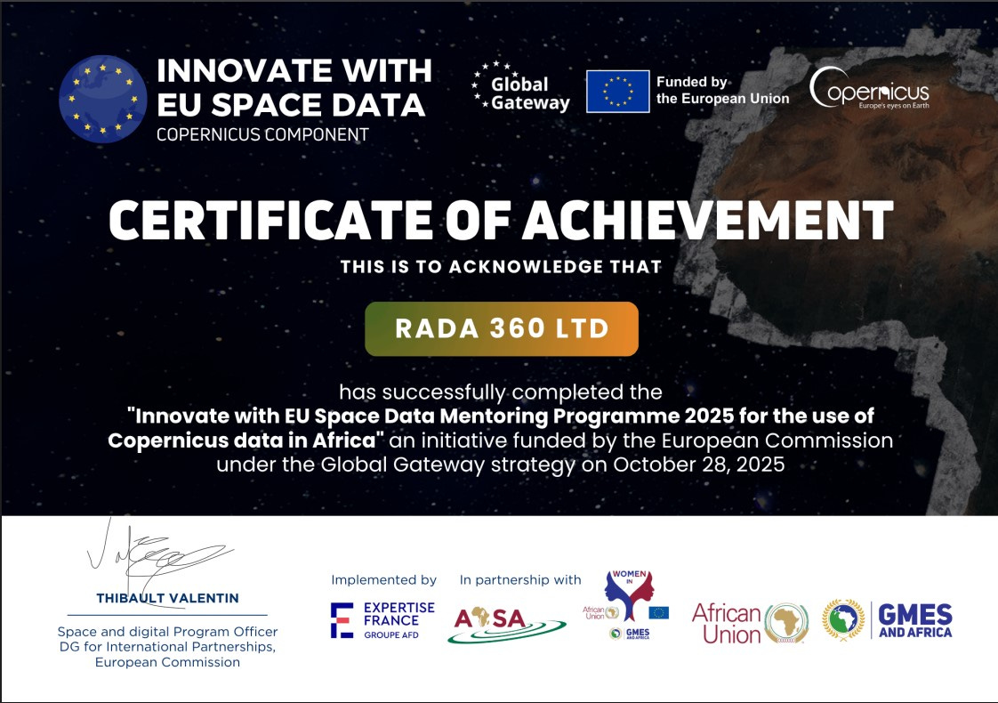
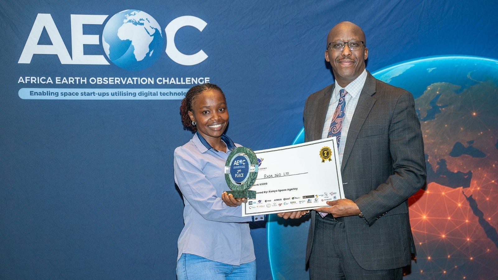
We won the Africa Earth Observation Challenge in Nairobi in December. We hold partnerships with both the African Space Agency and the European Space Agency, with a major joint project planned for this year.
And we have a memorandum of understanding with Tanzania’s Ministry of ICT. We are in active discussions with other government institutions as well, though I cannot go into detail on those.
What comes next?
Three priorities over the next three years.
First is Rada Space Lab, which will offer broader applications across the space industry and support our work with the ICT Ministry on awareness and training for both government and private sector.
Second is a 3D platform that uses AI and satellite data to monitor forests, aimed at conservation and regulatory compliance.
Then we’ll have Rada Climate, a dedicated platform that brings together climate analytics for decision-makers dealing with drought, flooding, and long-term environmental change.
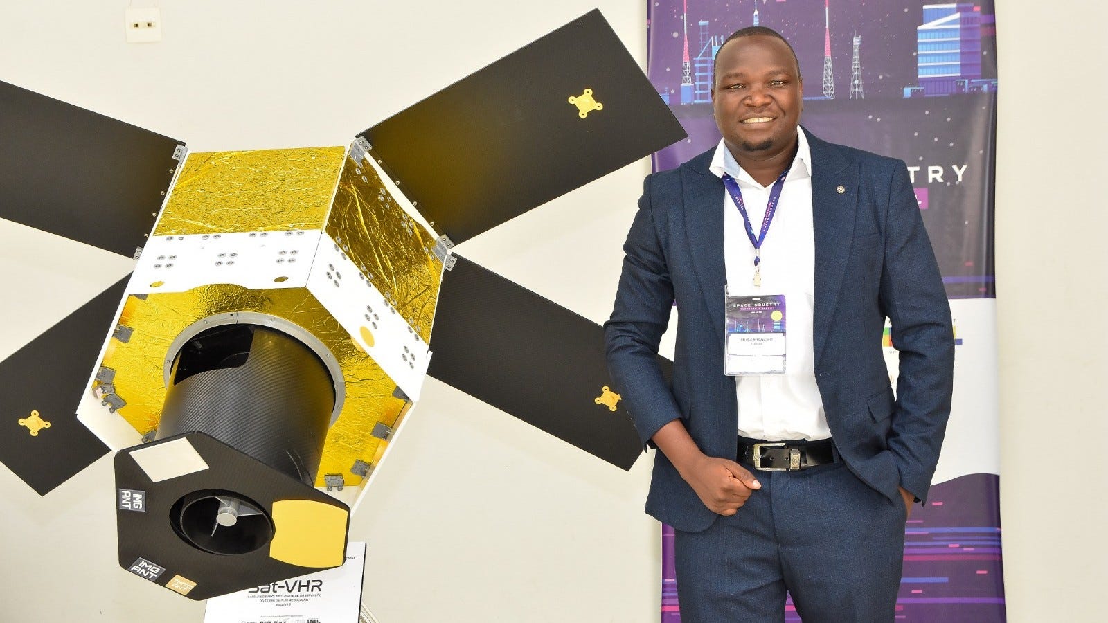
Musa Mishamo studied agricultural engineering at Sokoine University of Agriculture (SUA) and worked at Trimble Inc. and Leica Geosystems before founding Rada 360.
He represents Eastern Africa at the International Society for Precision Agriculture and sits on the board of the African Association for Precision Agriculture. Rada also operates Kilimanjaro Planetarium, Tanzania’s first space-themed STEM education facility (which we covered in May 2023).